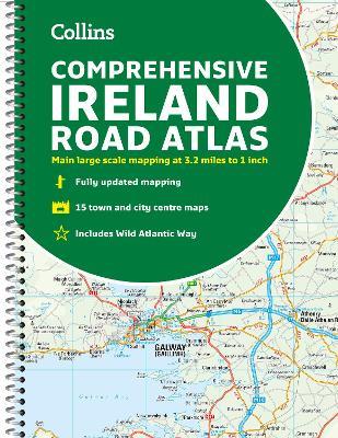
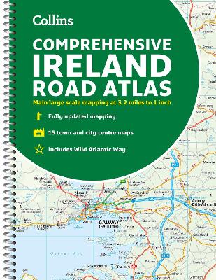
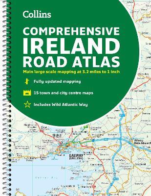
Comprehensive Road Atlas Ireland
Clear, detailed road atlas of Ireland in a handy A4 spiral-bound format. This comprehensive, general purpose road atlas is ideal for both business and pleasure. Highlights include: Clear mapping at a scale of 3.2 miles to 1 inch, which is useful for navigation An additional 9 miles to 1 inch route planning map Places of interest section with information and photographs A range of fully indexed town and city centre maps, including: Bangor, Belfast, Cork, Dublin, Limerick, Lisburn, Londonderry (Derry) and Newtownabbey This updated edition boasts road mapping packed with detail. There is a colour classified road network that also shows toll roads. Blue Flag and Green Coast beaches are shown along with tourist information centres and a wide range of tourist attractions. There is also comprehensive information for visitors to Belfast, Cork, Dublin and Limerick. The perfect companion for anyone visiting Ireland.
-
Autore:
-
Editore:
-
Anno:2023
-
Rilegatura:Spiral bound
-
Pagine:160 p.
Le schede prodotto sono aggiornate in conformità al Regolamento UE 988/2023. Laddove ci fossero taluni dati non disponibili per ragioni indipendenti da Feltrinelli, vi informiamo che stiamo compiendo ogni ragionevole sforzo per inserirli. Vi invitiamo a controllare periodicamente il sito www.lafeltrinelli.it per eventuali novità e aggiornamenti.
Per le vendite di prodotti da terze parti, ciascun venditore si assume la piena e diretta responsabilità per la commercializzazione del prodotto e per la sua conformità al Regolamento UE 988/2023, nonché alle normative nazionali ed europee vigenti.
Per informazioni sulla sicurezza dei prodotti, contattare productsafety@feltrinelli.it


