
LIBRO INGLESE
geog.atlas
21,88 €
+220
punti 
Venditore: Feltrinelli
Articolo acquistabile con Carta del Docente

Articolo acquistabile con Carta Cultura Giovani e Carta del Merito

Articolo acquistabile con Carta della Cultura

Dati e Statistiche
 Salvato in 0 liste dei desideri
geog.atlas
Disponibile in 5 gg lavorativi
21,88 €
21,88 €
Disponibile in 5 gg lavorativi

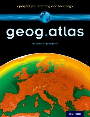

geog.atlas is an engaging atlas of accessible maps and supporting information. It features unique coverage of places likely to appear in the news, such as the Middle East, Afghanistan, and the Falklands. Special maps look at themes like global warming, desertification, and how people spread around the world. Stunning satellite images are placed alongside physical geography maps to aid understanding. 'Did you know?' and 'What if?' circles provide interesting extra information and engaging facts. Full of clearly-labelled maps, straightforward explanations, and advice on how to 'read' maps and understand what they show, it will help improve students' basic locational knowledge, enhance their understanding, and build their confidence. geog.atlas supports teachers whether they're using geog.123 or an alternative course at KS3.
-
Autore:
-
Editore:
-
Anno:2013
-
Rilegatura:Paperback / softback
-
Pagine:112 p.
Testo in English
Dimensioni:
292 x 227 mm
Peso:
465 gr.
EAN:
9780198390756
Informazioni e Contatti sulla Sicurezza dei Prodotti
Le schede prodotto sono aggiornate in conformità al Regolamento UE 988/2023. Laddove ci fossero taluni dati non disponibili per ragioni indipendenti da Feltrinelli, vi informiamo che stiamo compiendo ogni ragionevole sforzo per inserirli. Vi invitiamo a controllare periodicamente il sito www.lafeltrinelli.it per eventuali novità e aggiornamenti.
Per le vendite di prodotti da terze parti, ciascun venditore si assume la piena e diretta responsabilità per la commercializzazione del prodotto e per la sua conformità al Regolamento UE 988/2023, nonché alle normative nazionali ed europee vigenti.
Per informazioni sulla sicurezza dei prodotti, contattare productsafety@feltrinelli.it