LIBRO INGLESE
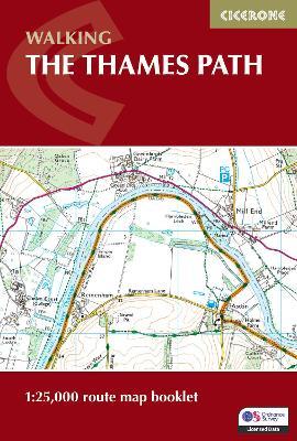
The Thames Path Map Booklet: 1:25,000 OS Route Map Booklet
16,19 €
+160
punti 
Venditore: Feltrinelli
Articolo acquistabile con Carta del Docente

Articolo acquistabile con Carta Cultura Giovani e Carta del Merito

Articolo acquistabile con Carta della Cultura

Dati e Statistiche
 Salvato in 0 liste dei desideri
The Thames Path Map Booklet: 1:25,000 OS Route Map Booklet
Disponibile in 5 gg lavorativi
16,19 €
16,19 €
Disponibile in 5 gg lavorativi


Experience the scenic charm and riverside adventure of the Thames Path National Trail, following the River Thames for 294 km (184 miles) through the heart of London to its source in the Cotswolds. Travel through picturesque villages, historic towns, and tranquil countryside, with highlights including Oxford, Windsor, Henley-on-Thames, and the vibrant cityscapes of London. This map book provides all the detailed mapping you need to walk the Thames Path National Trail: Features 1:25,000 Ordnance Survey (OS) maps Covers the entire trail from the Thames Barrier to the Cotswolds Suitable for walking the trail in either direction Compact and easy to carry, perfect for your jacket pocket or backpack For step-by-step route descriptions, an accompanying Cicerone guidebook, ‘Walking the Thames Path,’ is also available Part of a comprehensive series for National Trail walkers Plan your Thames Path journey with confidence and enjoy every mile along England’s most iconic river.
-
Autore:
-
Editore:
-
Anno:2026
-
Rilegatura:Paperback / softback
-
Pagine:96 p.
Testo in English
Dimensioni:
172 x 116 mm
Peso:
110 gr.
EAN:
9781786311498
Informazioni e Contatti sulla Sicurezza dei Prodotti
Le schede prodotto sono aggiornate in conformità al Regolamento UE 988/2023. Laddove ci fossero taluni dati non disponibili per ragioni indipendenti da Feltrinelli, vi informiamo che stiamo compiendo ogni ragionevole sforzo per inserirli. Vi invitiamo a controllare periodicamente il sito www.lafeltrinelli.it per eventuali novità e aggiornamenti.
Per le vendite di prodotti da terze parti, ciascun venditore si assume la piena e diretta responsabilità per la commercializzazione del prodotto e per la sua conformità al Regolamento UE 988/2023, nonché alle normative nazionali ed europee vigenti.
Per informazioni sulla sicurezza dei prodotti, contattare productsafety@feltrinelli.it