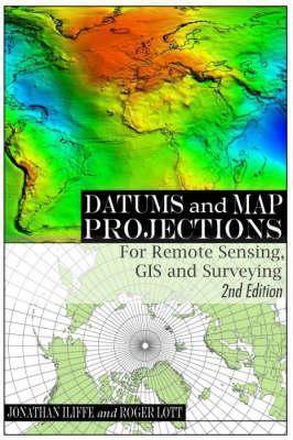
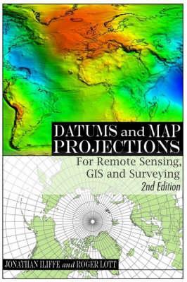
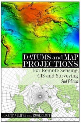
Datums and Map Projections: For Remote Sensing, GIS and Surveying
This book is a practical guide to coordinate reference and satellite navigation systems, as well as web mapping services such as Google Earth. It is a key text for students and professionals around the world in all areas of geomatics - surveying, remote sensing, GIS and GPS.
-
Autore:
-
Editore:
-
Anno:2008
-
Rilegatura:Paperback / softback
-
Pagine:224 p.
Le schede prodotto sono aggiornate in conformità al Regolamento UE 988/2023. Laddove ci fossero taluni dati non disponibili per ragioni indipendenti da Feltrinelli, vi informiamo che stiamo compiendo ogni ragionevole sforzo per inserirli. Vi invitiamo a controllare periodicamente il sito www.lafeltrinelli.it per eventuali novità e aggiornamenti.
Per le vendite di prodotti da terze parti, ciascun venditore si assume la piena e diretta responsabilità per la commercializzazione del prodotto e per la sua conformità al Regolamento UE 988/2023, nonché alle normative nazionali ed europee vigenti.
Per informazioni sulla sicurezza dei prodotti, contattare productsafety@feltrinelli.it


