
LIBRO INGLESE
Lake District West: Scafell Pike, Langdale & Coniston
14,94 €
+150
punti 
Venditore: Feltrinelli
Articolo acquistabile con Carta del Docente

Articolo acquistabile con Carta Cultura Giovani e Carta del Merito

Articolo acquistabile con Carta della Cultura

Dati e Statistiche
 Salvato in 0 liste dei desideri
Lake District West: Scafell Pike, Langdale & Coniston
Disponibile in 5 gg lavorativi
14,94 €
14,94 €
Disponibile in 5 gg lavorativi
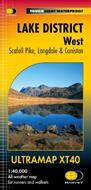
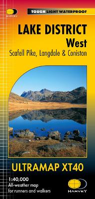

Covers a large area yet is handily compact. Pocket perfect! Detailed map for runners and walkers of the western fells of the Lake District National Park at the magic scale of 1:40,000. Scafell and the Langdale Pikes, and fells west of the Kendal-Keswick road. Hard Knott and Wrynose Passes. Ennerdale, Wast Water and Coniston Water. Includes 74 Wainwrights. Fully detailed genuine HARVEY mapping Includes Rights of Way Use without a map case: tough and 100% waterproof Opens directly to either side of the sheet
-
Editore:
-
Collana:Ultramap XT40
-
Anno:2024
-
Rilegatura:Sheet map, folded
Testo in English
Dimensioni:
152 x 73 mm
Peso:
25 gr.
EAN:
9781851377190
Informazioni e Contatti sulla Sicurezza dei Prodotti
Le schede prodotto sono aggiornate in conformità al Regolamento UE 988/2023. Laddove ci fossero taluni dati non disponibili per ragioni indipendenti da Feltrinelli, vi informiamo che stiamo compiendo ogni ragionevole sforzo per inserirli. Vi invitiamo a controllare periodicamente il sito www.lafeltrinelli.it per eventuali novità e aggiornamenti.
Per le vendite di prodotti da terze parti, ciascun venditore si assume la piena e diretta responsabilità per la commercializzazione del prodotto e per la sua conformità al Regolamento UE 988/2023, nonché alle normative nazionali ed europee vigenti.
Per informazioni sulla sicurezza dei prodotti, contattare productsafety@feltrinelli.it