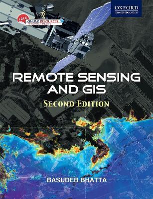
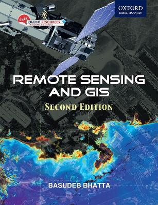
Remote Sensing and GIS
Beginning with the history and basic concepts of remote sensing and GIS, the book gives an exhaustive coverage of optical, thermal and microwave remote sensing, global navigation satellite systems (such as GPS), digital photogrammetry, visual image analysis, digital image processing, spatial and attribute data model, geospatial analysis, and planning, implementation and management of GIS. It also presents the modern trends of remote sensing and GIS with an illustrated discussion on its numerous applications. The appendices provide the prerequisites required for understanding remote sensing and GIS technology.
-
Autore:
-
Editore:
-
Anno:2011
-
Rilegatura:Paperback / softback
-
Pagine:752 p.
Le schede prodotto sono aggiornate in conformità al Regolamento UE 988/2023. Laddove ci fossero taluni dati non disponibili per ragioni indipendenti da Feltrinelli, vi informiamo che stiamo compiendo ogni ragionevole sforzo per inserirli. Vi invitiamo a controllare periodicamente il sito www.lafeltrinelli.it per eventuali novità e aggiornamenti.
Per le vendite di prodotti da terze parti, ciascun venditore si assume la piena e diretta responsabilità per la commercializzazione del prodotto e per la sua conformità al Regolamento UE 988/2023, nonché alle normative nazionali ed europee vigenti.
Per informazioni sulla sicurezza dei prodotti, contattare productsafety@feltrinelli.it


