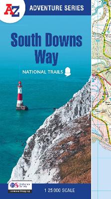
South Downs Way: With Ordnance Survey Mapping
The A-Z Adventure Series uses Ordnance Survey mapping and is the perfect companion for walkers, off-road cyclists, and anyone wishing to explore the great outdoors. Starting in Winchester and finishing in Eastbourne, the scenic South Downs Way is a 100 mile (160 km) National Trail route lying within the South Downs National Park. This National Trail Map features detailed Ordnance Survey mapping at a scale of 1:25 000, providing complete coverage of the South Downs Way. It also includes a route planner showing distances between places and the amenities available to make it easy to plan your adventure. Additional features include: Campsites (seasonal opening) Information Centres Hotels/B&Bs Youth Hostels Public Houses Shops Restaurants Cafes (seasonal opening) Petrol Stations Other books available in the A-Z Adventure series include: Peak District (Dark Peak), Cotswold Way, Peddars Way and Norfolk Coast Path, Pembrokeshire Coast Path, South West Coast Path and The North Coast 500.
-
Autore:
-
Editore:
-
Collana:A -Z Adventure Series
-
Anno:2025
-
Rilegatura:Paperback / softback
-
Pagine:64 p.
Le schede prodotto sono aggiornate in conformità al Regolamento UE 988/2023. Laddove ci fossero taluni dati non disponibili per ragioni indipendenti da Feltrinelli, vi informiamo che stiamo compiendo ogni ragionevole sforzo per inserirli. Vi invitiamo a controllare periodicamente il sito www.lafeltrinelli.it per eventuali novità e aggiornamenti.
Per le vendite di prodotti da terze parti, ciascun venditore si assume la piena e diretta responsabilità per la commercializzazione del prodotto e per la sua conformità al Regolamento UE 988/2023, nonché alle normative nazionali ed europee vigenti.
Per informazioni sulla sicurezza dei prodotti, contattare productsafety@feltrinelli.it


