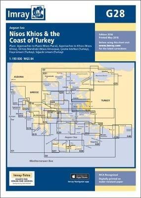
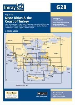
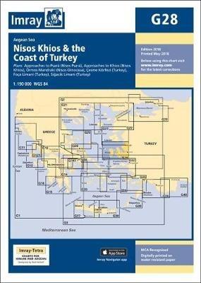
Imray Chart G28: Nisos Khios & the Coast of Turkey
Plans included: Approaches to Psara (Nisos Psara) (1:15,000) Approaches to Khios (Nisos Khios) (1:20,000) Ormos Mandraki (Nisos Oinoussa) (1:8,000) Cesme Koerfezi (Turkey) (1:18,000) Foca Limani (Turkey) (1:20,000) Sigacik Limani (Turkey) (1:18,000) On this 2018 edition full details of the new TSS schemes are shown at Izmir Koerfezi, Candarli Koerfezi and Nemrut Koyu; revised depths and harbour developments are shown at Psara, Khios, Cesme and Foca; the Sigacik Limani sketch plan has been replaced with a fully WGS84-compatible version; the latest known depths, restricted areas and marine farms have been applied to the main chart; and details of the recently deployed AIS transmitters are shown across the chart.
-
Autore:
-
Editore:
-
Collana:G Series
-
Anno:2018
-
Rilegatura:Sheet map, folded
-
Pagine:1 p.
Le schede prodotto sono aggiornate in conformità al Regolamento UE 988/2023. Laddove ci fossero taluni dati non disponibili per ragioni indipendenti da Feltrinelli, vi informiamo che stiamo compiendo ogni ragionevole sforzo per inserirli. Vi invitiamo a controllare periodicamente il sito www.lafeltrinelli.it per eventuali novità e aggiornamenti.
Per le vendite di prodotti da terze parti, ciascun venditore si assume la piena e diretta responsabilità per la commercializzazione del prodotto e per la sua conformità al Regolamento UE 988/2023, nonché alle normative nazionali ed europee vigenti.
Per informazioni sulla sicurezza dei prodotti, contattare productsafety@feltrinelli.it


