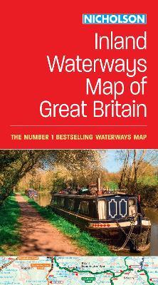
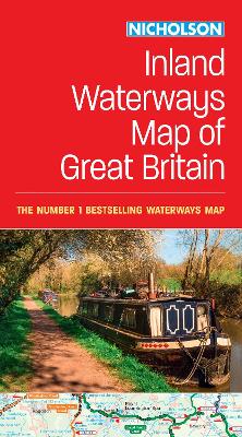
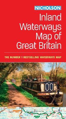
Nicholson Inland Waterways Map of Great Britain: For Everyone with an Interest in Britain’s Canals and Rivers
The best-selling guides to Britain’s canals and rivers for more than 50 years. The map companion to the Collins Nicholson Waterways Guides, covering the entire network of canal and river navigations in England, Scotland and Wales, including newly restored/opened canals and rivers. The map identifies: • narrow and broad canals • navigable rivers • tidal river navigations • waterways under construction Also: • contact telephone numbers and dimensions for each waterway • internet links Clear insets of the Birmingham Canal Navigations, Scottish inland waterways, the Norfolk Broads and the London area.
-
Autore:
-
Editore:
-
Collana:Nicholson Waterways Guides
-
Anno:2024
-
Rilegatura:Sheet map, folded
-
Pagine:1 p.
Le schede prodotto sono aggiornate in conformità al Regolamento UE 988/2023. Laddove ci fossero taluni dati non disponibili per ragioni indipendenti da Feltrinelli, vi informiamo che stiamo compiendo ogni ragionevole sforzo per inserirli. Vi invitiamo a controllare periodicamente il sito www.lafeltrinelli.it per eventuali novità e aggiornamenti.
Per le vendite di prodotti da terze parti, ciascun venditore si assume la piena e diretta responsabilità per la commercializzazione del prodotto e per la sua conformità al Regolamento UE 988/2023, nonché alle normative nazionali ed europee vigenti.
Per informazioni sulla sicurezza dei prodotti, contattare productsafety@feltrinelli.it


