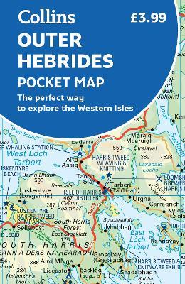
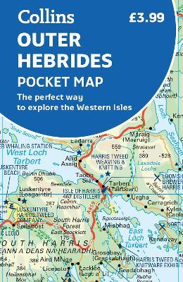
Outer Hebrides Pocket Map: The Perfect Way to Explore the Western Isles
Explore new places with handy pocket maps from Collins. Handy little full-colour map of the Western Isles of Scotland. Detailed mapping and tourist information for the islands of Lewis, Harris, Uist, Benbecula, Barra and St Kilda. Excellent value and very detailed for its size. Famed for its stunning coastline, wildlife and traditional food and drink, the Outer Hebrides have a distinct identity. Discover these unique islands with this handy pocket map. Main features of this map include: Clear mapping at a scale of 3.2 miles to 1 inch Tourist attractions located and described Sights, places to stay, cafe/restaurant, things to do are all highlighted on the map Transport links map showing how to get to and depart the islands Index to places of interest and place names Essential for those planning a trip around the Western Isles.
-
Autore:
-
Editore:
-
Anno:2023
-
Rilegatura:Sheet map, folded
-
Pagine:2 p.
Le schede prodotto sono aggiornate in conformità al Regolamento UE 988/2023. Laddove ci fossero taluni dati non disponibili per ragioni indipendenti da Feltrinelli, vi informiamo che stiamo compiendo ogni ragionevole sforzo per inserirli. Vi invitiamo a controllare periodicamente il sito www.lafeltrinelli.it per eventuali novità e aggiornamenti.
Per le vendite di prodotti da terze parti, ciascun venditore si assume la piena e diretta responsabilità per la commercializzazione del prodotto e per la sua conformità al Regolamento UE 988/2023, nonché alle normative nazionali ed europee vigenti.
Per informazioni sulla sicurezza dei prodotti, contattare productsafety@feltrinelli.it


