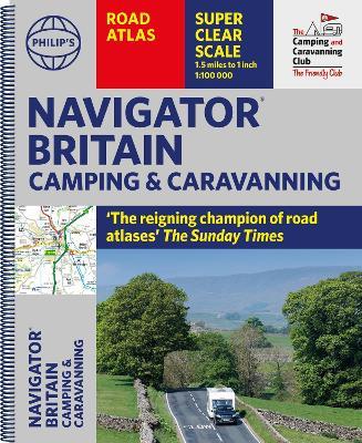
Philip's Navigator Camping and Caravanning Atlas of Britain
THE MUST-HAVE ATLAS OF BRITAIN FOR CAMPING, CARAVANNING AND MOTORHOMES 'A map that beats all others' - The Daily Telegraph 'Scale, accuracy and clarity are without parallel' - Driving Magazine 'No. 1 in the UK for clear maps' - Independent research survey The lure of the open road and British countryside has never waned and the appeal of independent exploration has surely grown in recent years. However, the adventurous need practical information about what lies ahead - from bridge heights, widths and weights to places to stop and enjoy. Philip's Navigator Camping and Caravanning Atlas of Britain is the No. 1 Choice of Road Atlas for the independent travelling motorist and camper van owner. * Scale: 1.5 miles to 1 inch = 1:100,000 (Northern Scotland: 3 miles to 1 inch = 1:200,000) * Over 1,880 approved campsites located, plus essential advice from The Camping and Caravanning Club * Includes essential information for caravanning motorists: 6000 bridge height limits, 1500 bridge weight limits and 260 bridge width limits - No other road atlas of Britain offers this level of detail and clarity - Britain's best road mapping in a great spiral format - Every street in Britain is marked on the maps - Over 3000 main roads named - 100 indexed town-centre maps plus approaches to 12 major urban areas - Super-detailed 6-page route-planning section - Exceptional road detail, from motorways to country lanes, with every junction, roundabout and slip-road shown - Thousands of individually named farms, houses and hamlets Philip's Navigator Camping and Caravanning Atlas of Britain includes a special feature by The Friendly Club, which is packed with essential camping and caravanning information.
-
Autore:
-
Editore:
-
Collana:Philip's Road Atlases
-
Anno:2023
-
Rilegatura:Spiral bound
-
Pagine:416 p.
Le schede prodotto sono aggiornate in conformità al Regolamento UE 988/2023. Laddove ci fossero taluni dati non disponibili per ragioni indipendenti da Feltrinelli, vi informiamo che stiamo compiendo ogni ragionevole sforzo per inserirli. Vi invitiamo a controllare periodicamente il sito www.lafeltrinelli.it per eventuali novità e aggiornamenti.
Per le vendite di prodotti da terze parti, ciascun venditore si assume la piena e diretta responsabilità per la commercializzazione del prodotto e per la sua conformità al Regolamento UE 988/2023, nonché alle normative nazionali ed europee vigenti.
Per informazioni sulla sicurezza dei prodotti, contattare productsafety@feltrinelli.it


